Fluvio Field
Work order management, minus the implementation project.
Dispatch crews, track assets, and close out jobs — with unlimited users, no required Esri license, and nobody between you and a report. Built for water utilities from about 2,000 to 50,000 connections.
This week
Work orders
Everything a water utility actually uses.
Not the enterprise feature matrix. The parts your crew opens every morning.
Work orders that match how you work
Create, assign, and close jobs against assets, addresses, or zones. Recurring maintenance, emergency callouts, and everything between — without a workflow consultant.
Built for the truck, not the desk
Crews pick up jobs, attach photos, log materials, and close out from a phone in the field. Works on the device they already carry.
Assets on a map from day one
Valves, hydrants, mains, and meters on a live map. Drop what you find as you find it, or pull it in from the GIS you already run.
Reports you build yourself
A no-code report builder plus an automatic monthly operations PDF. No Crystal Reports, no SQL, and no change order to add a column.
Asset history that survives turnover
Every job against every asset, retained. When the operator who knew the system retires, the record stays.
Migration off what you have
We bring your open work, your asset registry, and the history you care about. Getting your data out of the old system is our job, not yours.
In the truck
This is the whole app your crew has to learn.
Open the job, see the asset on a map, log what you used, attach a photo, close it out. No certification course, no desktop client, no syncing ritual at the end of the day.
- Works on the phone they already carry — no rugged tablet program to fund
- Photos and materials captured at the job, not retyped at a desk that evening
- Asset history writes itself, so the next crew inherits the context
- Offline-tolerant: the truck loses signal, the work order does not
WO-4471
Crew 2 · Tue
Main break — 6" AC
Materials used
The software isn't the problem.
The gate in front of it is.
Legacy work order platforms are sold in three layers, and only one of them is software. The figures below are their prices, taken from published municipal contracts.
License + maintenance
$10.7k – $72k / yr
Priced per named seat, plus module licensing. Small utilities land near the bottom; mid-size districts near the top.
Implementation
$50k – $190k one-time
Billed by a third-party integrator, not the software vendor. Six to eighteen months before anyone opens a work order.
Esri + customization
Ongoing, on top
A required ArcGIS license stack, and every report change billed back through the same integrator.
From a public municipal contract — not our pricing
One California water district paid $934,000 to deploy a legacy work order system across 13,484 connections.
That is roughly $69 per connection before a single work order was written. Every figure on this page comes from published municipal contracts and budget disclosures.
Fluvio is priced at a fraction of that — and we'll tell you the number on the first call.
See Fluvio pricingThey sell you an implementation.
We sell you a system.
How Fluvio Field stacks up against the legacy work order platforms most water utilities are running today.
Users
Licensed per named seat
Unlimited users, always included
GIS
Requires an Esri ArcGIS license stack
Maps built in — bring Esri or skip it entirely
Implementation
$50k–$190k through a third-party integrator
A scoped fee, credited back on an annual commit
Reporting
Crystal Reports / SQL — unsupported, extra cost
No-code report builder, monthly ops PDF included
Time to live
6–18 months
Weeks, not fiscal years
Changes & customization
Billed back through the integrator
You talk to the people who build it
Training
Multi-day certification before day one
Usable by a crew the morning it turns on
Pricing
Quote-gated, negotiated per deal
A straight answer on the first call
“Do you have GIS?” Yes — and you don't need one.
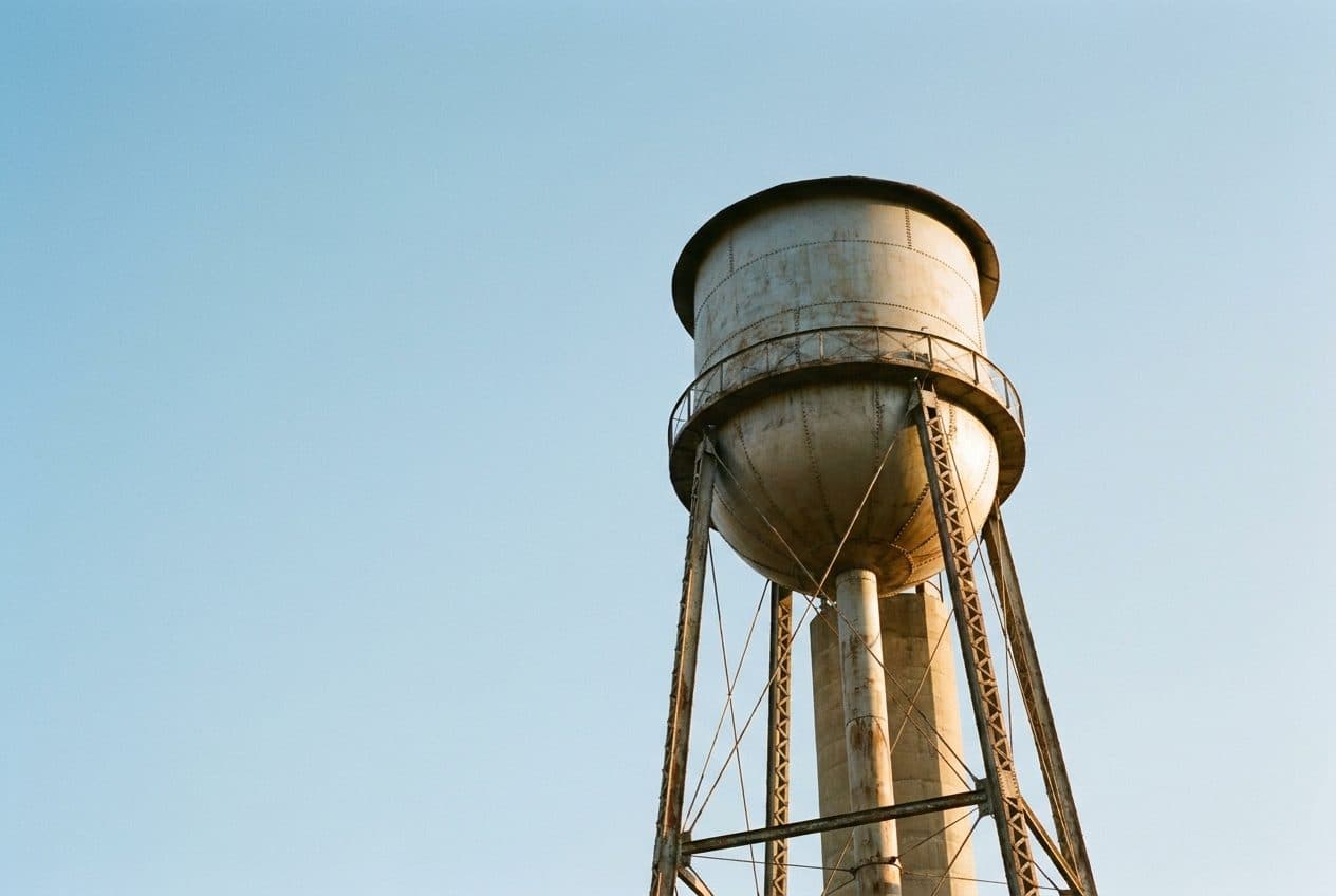
Most work order platforms treat a mature Esri deployment as the price of entry. Plenty of utilities under 20,000 connections don't have one, and shouldn't have to buy one to dispatch a crew.
You have no GIS
Drop assets on a map, draw your mains, and mark valves and hydrants as you find them. Fluvio becomes your GIS. No Esri license, no consultant, no basemap project.
You already have Esri
We read your ArcGIS feature services directly, and import shapefiles or GeoJSON into the asset model. Your GIS team keeps their system; your crews get one that opens on a phone.
You want writes back to Esri
On the roadmap, and we will build it against your ArcGIS version when you need it. We would rather tell you that plainly than pretend it ships today.
Built for the work
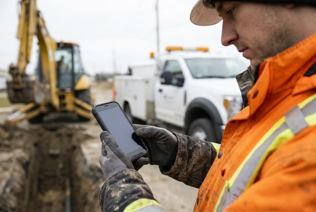
Hydrant flushing, valve exercise, main breaks, meter swaps.
The recurring work that keeps a system alive — dispatched to the phone in his glove, and closed out before he leaves the hole.
Five utilities. Locked-in launch pricing. Enrolling now.
We're onboarding our first five pilot utilities. Pilot partners get launch pricing locked for their first three years, direct access to the team building the platform, and hands-on migration off whatever they're running today.
5
Pilot seats
Weeks
To go live
Credited
Implementation
Book a 30-minute walkthrough.
We'll show you the platform on your AMI vendor, run the ROI math for your utility, and answer everything you ask.